
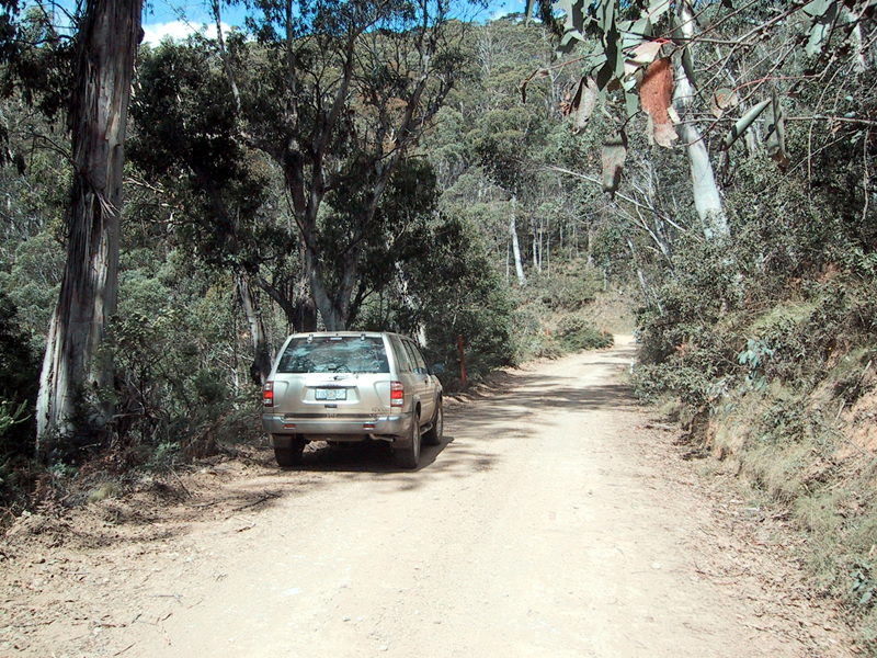
A pleasant drive south from Picadilly Circus (-35°21'31.5", 148°48'01.9") down the Mt Franklin Road
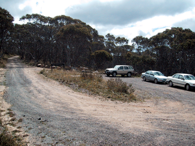
Start at Ginini carpark (-35°31'35.4", 148°46'44.5" ). A locked gate closes the road (Firetrail) beyong.

Stockyard Spur junction (-35°33'18.6", 148°46'57.7" ) for route from Corin Dam (-35°32'03.5", 148°50'06.4").
The Stockyard Spur route is beautiful but challenging - especially in winter when it often provides the only route to Gingera.
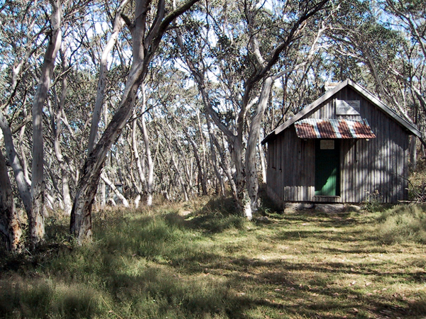
Pryors Hut (-35°33'44.2", 148°46'41.9") offers high class shelter

in bad weather.I have seen 2ft of snow on the ground around the hut on April 1. The hut even has an outhouse!
From the hut you can climb the north ridge of Gingera but there is no trail. If you do choose this route be careful of barbed wire in the thick brush just south of Pryor's Hut. Alternatively contine down the firetrail.

Depart (right) from firetrail to Gingera Summit (-35°34.305', 148°47.007'). The point of departure (above) is easy to find: a sharp 90š, left turn. The trail to the summit is easy to follow. It is now maintained by the ACT National Parks people. In winter this area is often covered by snow for months.
Water is often available beside firetrail between Pryor's Hut and firetrail departure point.

However, permanent water is available 175yrds further south on firetrail (-35°34'11.4", 148°46'59.8") beyond firetrail depature point. There is no visible path to this waterfall, so follow directions and use your ears, or use the GPS coordinates.

Wildflowers abound.

Summit view, looking south.
A pleasant, not too difficult return is to travel north west ~1km along the Gingera summit ridge to the north summit at (-35°34'05.2", 148°46'21.9"). The walk along the flat summit ridge gives rewarding views and travels through very interesting sub-alpine woodland. From the north summit return down the steep rocky north ridge to Pryor's Hut - taking care to avoid the old barbed wire fencing at the base.
A schematic map is available on Murray Dow's web page.
Return to Denis Evans' Visitors Page.
Copyright © evans@rsc.anu.edu.au , March 24, 2002.